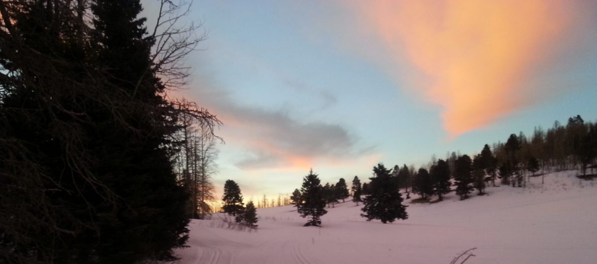
Note: these maps both mention a distance of around 3 miles (5km) for the trail – that is the distance of the main Guaje Trail #282 from the trail head, out to the old Baca Fence (Valles Caldera boundary). The actual distance of groomed trails is anywhere from 10km, up to 18km, depending on snow conditions. When snow permits, the far end crosses (with permission) the Valles Caldera boundary at the old Baca Fence and extends to the rim of the Valle Grande, offering fantastic views of the Valles Caldera and the huge magma domes, such as Redondo Peak, the 2nd highest point in the Jemez Mountains.
Arcane map of Nordic Trails via the SF National Forest website


